|
|
Post by Bonobo on Jul 28, 2019 16:39:22 GMT 1
|
|
|
|
Post by jeanne on Sept 12, 2019 18:36:23 GMT 1
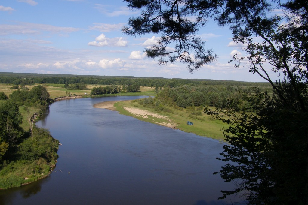
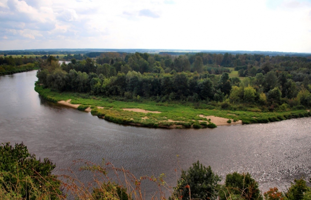
In this photo, it looks like the riverbed is higher than the surrounding land...is it really, or is that some kind of illusion? If it really is higher, is there a serious flooding problem in the springtime? It doesn't look like there are any dikes or dams to keep the river water within its banks! What is the real story??  Beautiful area and photos, by the way!  |
|
|
|
Post by Bonobo on Oct 31, 2019 23:28:58 GMT 1
Hmm, I tried to enlarge the photo and look closer. I think it is partly an illusion and partly a real condition, with natural uninhabited polders in the background which can be safely flooded without any damage to property.
|
|


